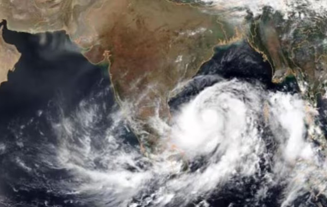
A low-pressure area over the southeast and the adjoining southwest Arabian Sea has developed into a depression and is expected to intensify into a cyclonic storm by the morning of October 21, the India Meteorological Department (IMD) said on Friday. The depression is currently located about 1,000 km south-southwest of Porbandar in Gujarat and is moving west-northwestwards.
No threat to Gujarat coast
Manorama Mohanty, head of IMD Gujarat, said, “We do not expect any impact in terms of rainfall or strong winds. We have, however, issued a warning for the fishermen not to venture into the sea for the next few days due to strong currents,” she said. The IMD has advised fishermen to return to the coast by October 20 and not to go out till October 24. The coastal districts of Gujarat are likely to experience dry weather with clear sky and moderate temperature.

Cyclone ‘Tej’ to form soon
This is the second cyclonic storm in the Arabian Sea this year. It will be called ‘Tej’, according to a formula followed for naming cyclones in the Indian Ocean. It is predicted to further intensify into a severe cyclonic storm on Sunday and move towards the south coasts of Oman and adjoining Yemen, according to the IMD. The cyclone is expected to reach a peak intensity of 100-110 kmph gusting to 120 kmph by October 23.
High temperature in Ahmedabad
Meanwhile, high minimum temperatures continued for the city and state. On Friday, the minimum temperature of 23°C was 2.8 degrees above normal. On the other hand, the maximum temperature of 36.4°C was 0.7 degrees above normal. The IMD has forecast that the maximum temperature will remain around 36°C for the next two days, while the minimum temperature will be around 22°C.


