
NEWS
Indonesia’s 2026 Fires Pass the 2019 Record Before Jakarta Recounts
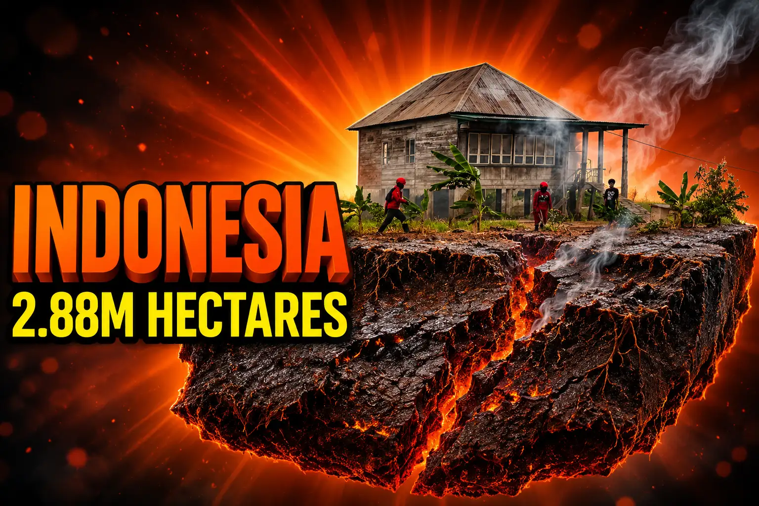
Nusantara Atlas puts Indonesia’s 2026 burn at 2.88 million hectares, past 2019, while Jakarta’s last official total remains 202,000 hectares from July.

Indonesia’s 2026 fires have burned 2.88 million hectares through October, Nusantara Atlas founder David Gaveau said on November 11, already more than the monitor’s full 2019 year.
The October reading is 7.1 million acres, about 18 times the area of London, and nearly a million hectares larger than the atlas count for January to September. Rain has started to flatten hotspots. The forestry ministry’s last official total is still 202,000 hectares at the end of July, and Gaveau warned that smoke still hides burn scars from satellites.
A Count That Already Beats 2019
Gaveau’s group, The TreeMap, maps burn scars on Sentinel-2 imagery and checks them against NASA FIRMS hotspots. The peer-reviewed Sentinel-2 method drops individual scars smaller than 6.25 hectares and is built to avoid false detections, so the published total is a floor, not a ceiling. Persistent smoke delayed some mapping, which is why an October scar can appear in a later file.
By the end of August the cumulative map stood at 895,650 hectares. It jumped to 1,916,588 hectares by the end of September, 38 percent above the same stretch of 2019, when the atlas later closed the year at 2.63 million hectares. Over half of that January-to-September area was detected in September alone. Hotspot detections through October 18 were 67 percent above 2019 on the same satellites; the fire map showed 1.15 million hotspots as of October 20.
THE BURNED AREA COUNT
| Period | Who measured it | Hectares |
|---|---|---|
| June to October 2015 | Government, World Bank note | 2.6 million |
| Full year 2019 | Nusantara Atlas | 2.63 million |
| 2026 through July | Forestry ministry | 202,000 |
| 2026 through August | Nusantara Atlas | 895,650 |
| 2026 January to September | Nusantara Atlas | 1,916,588 |
| 2026 through October | Nusantara Atlas | 2.88 million |
A separate comparison that holds the satellite set constant since 2015 shows 2026 hotspot detections still 33 percent below that year. Nusantara Atlas has no burned-area series for 2015, so the 2.88 million hectares beats the atlas record from 2019 without settling the older disaster. Gaveau put the season in one line.
Basically, it’s a really bad year.
David Gaveau, founder, Nusantara Atlas
Jakarta’s Last Official Map Stops at July
Forestry ministry spokesman Ristianto Pribadi said the government was still working through confirmation and verification of fire-affected land and could not yet name a date for an announcement. That leaves the ministry’s 202,000 hectares through July as the last official national total, more than three months behind the satellite map and more than 14 times smaller than the October atlas reading.
The two figures are not a measure of what burned in August, September, and October, because the methods differ and the ministry has not published a later cut. President Prabowo Subianto ordered a large deployment of firefighting resources on October 19. The Centre for Research on Energy and Clean Air, a Helsinki research group, also noted that the National Disaster Management Agency’s 2026 budget was cut 75 percent, from 2 trillion rupiah in 2025 to 491 billion rupiah.
WHAT WE KNOW
- October atlas total: 2.88 million hectares of land affected by fire through the end of October, with some vegetation inside those scars still unburned or able to recover.
- Ministry total: 202,000 hectares razed by the end of July, with no later official hectare figure published.
- Hotspot trend: Rain has brought some of the worst blazes under control, and hotspot counts have started to flatten or fall.
WHAT IS UNCONFIRMED
- Final 2026 area: Gaveau said the October number will likely rise as fires still burning are mapped and as scars once hidden by smoke become visible.
- Government schedule: Ristianto has not confirmed when Jakarta will release an updated burned-area total.
- 2015 comparison: There is still no atlas burned-area figure built on the same satellites used for 2019 and 2026.
On the ground, the gap is not abstract. Myrna Asnawati Safitri, deputy for environment at the Nusantara Capital City Authority, said 1,600 hectares burned from July to October inside the new-capital zone, in patterns that looked rectangular rather than random, with oil palm and banana seedlings appearing after the fire. About 500 hectares sat in a company concession, and police were handling the investigation, she said.
South Papua Led the Hectare Map
The national total is a mix of fires, not one kind of landscape in flames. Nusantara Atlas’s mapped burned area through September put Kalimantan at about 684,000 hectares, or 36 percent of the country. Papua Selatan ranked first among provinces at about 319,000 hectares, ahead of Kalimantan Barat at 275,000, Nusa Tenggara Timur at 223,000, and Kalimantan Tengah at 220,000. The ten worst provinces held 86 percent of the map. Merauke recorded 252,627 hectares, the most of any regency.
THE JANUARY TO SEPTEMBER MAP
| Place | Hectares affected | Share of the story |
|---|---|---|
| Papua Selatan | 319,000 | Largest province; includes savanna and seasonal woodland |
| Kalimantan (island) | 684,000 | 36 percent of the national total |
| Kalimantan Barat | 275,000 | Includes Ketapang, 194,000 hectares, and Gunung Palung forest interior |
| Nusa Tenggara Timur | 223,000 | Seasonally dry grassland and woodland |
| Kalimantan Tengah | 220,000 | Peat and swamp belt, including Palangka Raya |
| Ketapang regency | 194,000 | Atlas flag for humid forest edges |
| Ogan Komering Ilir | 74,000 | South Sumatra peat, including Padang Sugihan |
Gaveau’s team is blunt that fire in southern Papua and Nusa Tenggara, where people have long used burning in savanna, is not the same event as fire on degraded peat in Kalimantan Barat, Kalimantan Tengah, and South Sumatra. Traditional burning has shaped Merauke’s savannas. The same island, though, is also the site of a 2.32 million-hectare national strategic agriculture plan, of which about 40,000 hectares had been cleared when the atlas reconstructed the footprint.
The land-cover and province rankings show what sat under those scars before the fire.
LAND COVER UNDER THE SCARS
- Swamp vegetation: 35 percent of the mapped area, a class that includes wetlands on several soils, not peat alone.
- Farms and savanna: Agricultural land 20 percent, savanna and grassland another 20 percent.
- Natural forest: About 4.5 percent, or 88,000 hectares on the forestry ministry map and 85,000 hectares on the atlas forest map, mostly secondary swamp or dryland forest.
- Peat maps: 17 to 23 percent of the burned area fell inside official peat boundaries, depending on the 2011 or 2019 agriculture ministry peat map.
- Forest estate: 55 percent of the January-to-September area sat inside kawasan hutan.
- Planted tree crops: 59,200 hectares of planted oil palm and 16,300 hectares of planted acacia, a different measure from concession boundaries.
Concession overlays, which can mix plantations, remaining forest, and wetlands, recorded 202,000 hectares inside oil palm concessions, 10.6 percent of the January-to-September total and a different quantity from the ministry’s 202,000-hectare national figure through July. Mining concessions overlapped 162,500 hectares, or 8.5 percent, and pulpwood concessions 118,000 hectares, or 6.1 percent. Those classes can overlap, so they cannot be added raw. Forest ecologist Douglas Sheil of Wageningen University said burning in humid forest interiors is very rare in natural conditions; September imagery showed burned patches inside Gunung Palung National Park in Kalimantan Barat, not only along the edge.
How Many People Did the Haze Reach?
The hectare map is the land. The smoke is what people breathed. Indonesia’s Health Ministry recorded 425,167 cases of acute respiratory illness between August 20 and November 5 across seven provinces in Sumatra and Kalimantan: Riau, Jambi, South Sumatra, West Kalimantan, Central Kalimantan, South Kalimantan, and East Kalimantan. Nearly half, 184,018 cases, involved children aged nine or under. More than 56,000 older people were among the patients. Ministry spokesperson Aji Muhawarman said the ministry had not reported respiratory cases from the fires in Papua.
The Helsinki group CREA, in an assessment signed by analyst Katherine Hasan and lead analyst Lauri Myllyvirta, estimated short-term deaths from PM2.5 in September rather than counting death certificates. Fire smoke accounted for an estimated 3,560 fire-smoke deaths that month, more than double the 1,700 fire-linked deaths CREA estimated for August. Urban and industrial pollution added 1,750 deaths, for a total of 5,310 (a 95 percent range of 4,610 to 6,080), 42 percent above August’s 3,740.
THE SEPTEMBER HEALTH TALLY
- Air in the lungs: 57.8 million people breathed unhealthy to hazardous air at the September peak, up 40 percent from 41.3 million in August.
- Kalimantan: People in hazardous air nearly tripled from 2.8 million to 6.4 million on the worst days, and 14 million people, about 80 percent of the island, hit unhealthy or worse.
- Sumatra and Java: 31.4 million people in Sumatra, half the island, and 23.8 million in Java breathed unhealthy air on the peak day.
- Death rate: Central Kalimantan had 14.1 estimated deaths per 100,000 people in September; fire smoke accounted for 99 percent of air-pollution deaths in West, South, and Central Kalimantan, and 94 percent in East Kalimantan.
National population-weighted PM2.5 rose from 29 micrograms per cubic metre in August to 36 in September, more than seven times the World Health Organization annual guideline of 5. Kalimantan’s average doubled from 57 to 120, a 24-fold breach of that guideline, and peaked at 196 on September 21. Sumatra rose from 37 to 51 and peaked at 72 on September 16. Java stayed near 26. In Palangka Raya, a city of about 300,000, CREA put the September daily average at 372 micrograms; Pontianak, about 650,000 people, averaged 327. Four Kalimantan provinces went from 700 estimated air-pollution deaths in August to 1,470 in September. Five Sumatra provinces went from 760 to 1,420, with South Sumatra’s 388 fire-linked deaths the highest on that island. Java’s tally barely moved, 1,570 then 1,530, and stayed tied to traffic, power, and industry.
Worsening air quality due to forest and land fires in Indonesia pushed the estimated death toll to 3,560 cases in September 2026, a twofold increase from the August estimate.
Centre for Research on Energy and Clean Air, September 2026 assessment
On October 20, at the two-year mark of the Prabowo-Gibran administration, student protesters in Jakarta demanded that the fires be declared a national disaster. Haze also closed schools in parts of Indonesia, Timor-Leste, and some Malaysian states, and drifted into Singapore, Brunei, the Philippines, and beyond. Palangka Raya’s city emergency status ended on November 7, disaster-prevention official Heri Fauzi said, as heavy rain returned and crews kept wetting land that could still burn.
Drained Peat Met This Year’s El Nino
Indonesia burns every dry season. This year a strong El Niño held the drought in place long enough for peat that had been drained for plantations to keep smouldering. CREA’s fire-energy record shows activity in Kalimantan, Sulawesi, and Papua running above 2015 through September, even as Sumatra stayed lower. The atlas peat overlay, 17 to 23 percent of the January-to-September scars, is smaller than the 35 percent swamp-vegetation share, and a scar on a peat map does not by itself prove the soil burned. In 2015, the government and the World Bank put 33 percent of that year’s 2.6 million burned hectares on peat.
After 2015 Jakarta built a peat restoration body and set a target of about 2.4 million hectares. The agency now doing that work is the National Peatland and Mangrove Management Agency, BPGMN, whose head, Satyawan Pudyatmoko, told reporters in Jakarta on November 9 that dried peat stays easy to light. The sequence is the reckoning: canals lowered the water, the El Niño removed the rain, and the restoration tools are being rebuilt while the scars are still being counted.
PEAT POLICY SINCE 2015
- June to October 2015: Government maps 2.6 million hectares burned. A World Bank note later put the $16.1 billion loss from the 2015 fires at 1.9 percent of GDP.
- January 2016: A peat restoration agency is created with a target of about 2.4 million hectares of damaged peat, and drainage rules follow.
- 2019: Nusantara Atlas records 2.63 million hectares for the full year, the high-water mark in its current series until 2026.
- July 2026: The forestry ministry’s last published national total is 202,000 hectares.
- September 2026: The atlas map reaches 1,916,588 hectares, and CREA’s fire-smoke death estimate peaks with the El Niño dry spell.
- October 2026: The atlas total reaches 2.88 million hectares through month’s end, still described as conservative because of smoke.
- November 9, 2026: BPGMN says it will rewet peat, repair canal blocks, and farm wet crops, aiming to be ready for a strong El Niño that BMKG projects for 2029 or 2030.
Pudyatmoko said wooden canal blocks have deteriorated or leaked after three to five years and will have to be rebuilt, with river water brought back onto dried peat and shade plants put in so the ground is not baked. Villages are supposed to sit on the first line, tied to hotspot alerts and local crews, with incentives under review for those that keep fire out. Paludiculture of pineapples, aloe vera, and sago is the cash crop that does not require draining the peat. Burned parks are to be replanted with native trees. He singled out South Papua as needing the same peat repairs as the rest of the country.
One way to restore the peatland ecosystem so that it can function properly is through rewetting.
Satyawan Pudyatmoko, head of BPGMN, Jakarta, November 9, 2026
Rain Has Come, the Scar Map Has Not
Hotspots are no longer climbing the way they did in September, and Palangka Raya has moved from emergency status into a transition, with rain on the streets and wetting still ordered on land that can flare. That is the weather turning. It is not the same thing as the scar map closing. Gaveau said some fires were still burning in November and that burn scars previously hidden by smoke would keep appearing to satellites in the coming months, so 2.88 million hectares is a running total, not a verdict.
Sipongi, the forestry ministry hotspot system, still showed South Papua lighting up after Sumatra and Kalimantan had slowed, with 49 high-confidence hotspots there across one early-November weekend against 80 nationwide. The atlas October file, promised around November 10, is the 2.88 million-hectare reading Gaveau described a day later. Jakarta has not matched it with an official hectare number, and Ristianto would not give a date.
BPGMN is now talking about the next El Niño, in 2029 or 2030, and about canal blocks that already failed in three to five years. The 2.88 million hectares already on the 2026 map, larger than the atlas year of 2019 and still likely to grow as the smoke lifts, is the cost of arriving at that conversation after the peat had dried, the concessions had overlapped the burn, and the last government total had frozen at 202,000 hectares in July.

Baker Mayfield’s Foot Strain Tests Tampa’s Run-First Formula

Measles Turns Endemic After the US Loses Elimination Status

California Locks Waymo Off Freeways After a Recalled Defect

Aidan Hutchinson’s Season Ends on a Celebration Jump in Munich

Super El Niño Hits Food Systems Already Under Strain

Consumer Sentiment Falls to 51.7 as Future Outlook Darkens

Pluto’s Heart Glacier Still Pushes Liquid Nitrogen Upward

Take-Two Subpoenas Microsoft While GTA 6 Preorders Soar

The Extra Heat Month Hits Children Where Care Is Thinnest

Netflix Weighs Hosting Peacock and Fox One in Its App
-
 BUSINESS3 months ago
Consumer Sentiment Falls to 51.7 as Future Outlook Darkens
-
 GAMING3 months ago
Take-Two Subpoenas Microsoft While GTA 6 Preorders Soar
-
 NEWS3 months ago
Pluto’s Heart Glacier Still Pushes Liquid Nitrogen Upward
-
 NEWS3 months ago
The Extra Heat Month Hits Children Where Care Is Thinnest
-
 ENTERTAINMENT3 months ago
Netflix Weighs Hosting Peacock and Fox One in Its App
-

 NEWS3 months ago
FDA Clears Rasonque and Widens Who Can Take It
-

 NEWS3 months ago
UMMC Will Rebuild 30-Year-Old Cancer Labs With $2.4 Million
-

 GAMING3 months ago
GTA 6’s 80-Hour Run Counts Goals That Change the Story